Hiking in Annecy means choosing your altitude: you can stroll the canals of the old town in the morning, take a boat across the lake to a forest reserve at lunch, and the next day grind 1,188 m up the chains and ladders of La Tournette to a summit at 2,351 m — all from the same lakeside base. Few mountain destinations in France pack this much range into so small an area, and fewer still let you finish a hard day’s walk with a swim in water clean enough to drink.
The lake sits in a bowl ringed by limestone, and almost every worthwhile hike here is a balcony of some kind — a path that climbs just far enough above the turquoise water to put the whole basin, and often Mont Blanc behind it, in a single frame. The east shore throws up the steepest, most dramatic ground: the Tournette massif and the Dents de Lanfon rear straight out of the water above Talloires and Menthon. To the west, the long wooded ridge of the Semnoz offers gentler gradients and the broadest panoramas. North of the city, the Parmelan and Mont Veyrier give you ridge walking within sight of the rooftops.
What makes Annecy unusual is how much of this is reachable without a car. The SIBRA bus network and the summer lake boats put several of the best trailheads — Talloires, Angon, Duingt, Menthon — within easy reach of the old town, and a few of the finest walks start from the city itself. The eleven routes below run from a flat 7 km canal walk to a six-and-a-half-hour assault on the highest summit above the lake. For the wider region — including the multi-day classics — see our hiking in the French Alps guide, and for the high-mountain end of the scale, our hiking in Chamonix page an hour up the road.
TRAILS | BOOK A GUIDE | ACCOMMODATION | HIKING GEAR | PRACTICAL INFO
Map of Hiking Routes Around Lake Annecy
Explore the best hiking routes around Lake Annecy on the interactive map below to plan your trip. The trailheads cluster on the east and south shores — Talloires, Angon, Menthon and Duingt — with the Semnoz rising to the west and the Parmelan to the north.
The Best Hikes in Annecy
The eleven routes below are ordered from easiest to hardest. The first four ask for nothing more than decent shoes and a half-day; from Route 5 onwards you’re gaining real height, and the last three are full mountain days with serious ascent. Several of the lower walks run year-round, but the high summits — Talamarche, La Tournette — only clear of snow from late June or July. For anything above 2,000 m, check conditions before you set off: afternoon storms build fast over the lake, and the upper sections of La Tournette are no place to be caught in cloud.
1. Lakeside & Old Town Loop (Promenade du Thiou)
Distance: ~7 km loop
Duration: 2h
Elevation gain: Negligible (flat)
Difficulty: Easy
Max altitude: 450 m
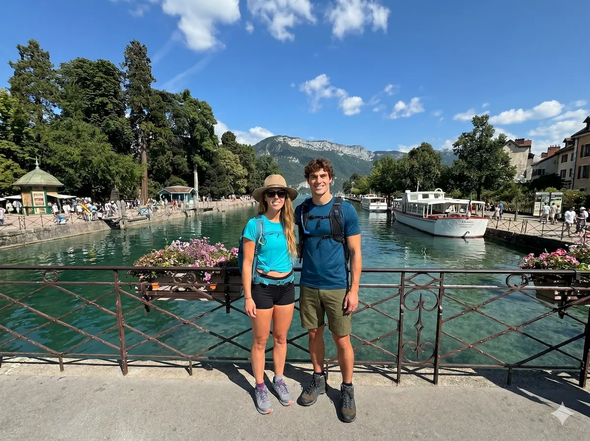
The only walk on this list done entirely at lake level — and the one to do on your first evening, or on a rest day between summits. Starting from the Jardins de l’Europe in the centre of Annecy, the route follows the Thiou, the short river that drains the lake, through the heart of the old town: pastel houses leaning over the canals, the Palais de l’Île marooned mid-stream, old washhouses and mills, and the lakeside path along the Pâquier with the mountains stacked up across the water. Extend it south along the Voie Verte cycle-and-walk path toward Sevrier for as long as you like — the tarmac is flat the whole way and the lake is on your shoulder throughout. It’s flat, it’s free, and it’s the best orientation you’ll get to the geography of the basin before you start climbing.
2. Ermitage de Saint-Germain
Distance: 5.3 km loop
Duration: 1h50
Elevation gain: +277 m
Difficulty: Easy
Max altitude: ~600 m
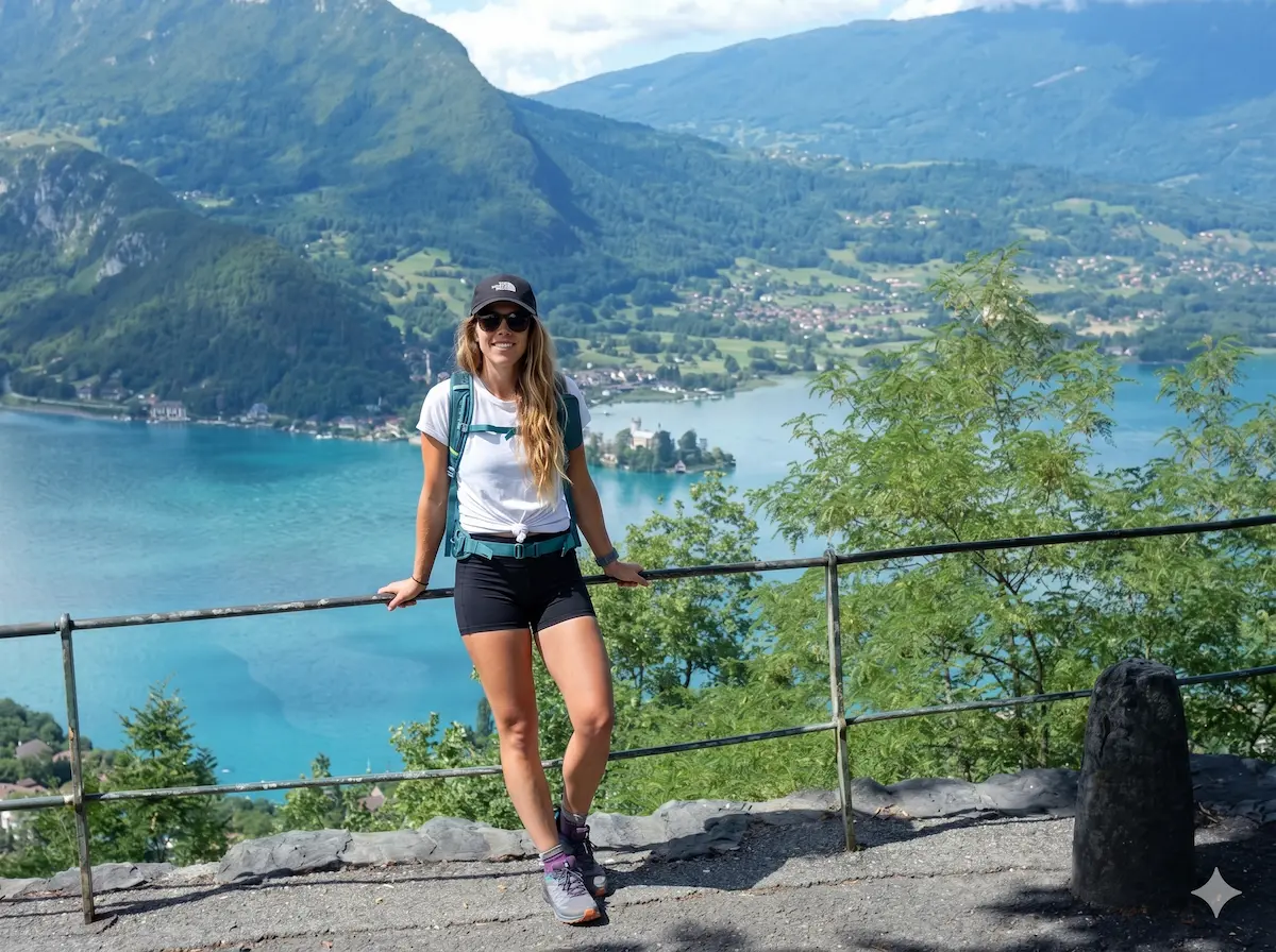
The highest reward-to-effort ratio on the lake. From the village centre of Talloires — 15 km from Annecy on the east shore — a well-marked loop climbs through hamlets and woodland to the Ermitage Saint-Germain, a tiny oratory and cave perched on a wooded shoulder directly above the Baie de Talloires. Saint Germain lived out his years as a hermit in the grotto here, and it’s easy to see why: the balcony in front of the chapel frames one of the most photographed views on the lake, looking straight down onto the bay with the Roc de Chère and the Bauges beyond. Under two hours of gentle walking gets you there and back. The path can be muddy and slick after rain, so save it for a dry spell.
3. Roc de Chère Nature Reserve
Distance: 6.3 km loop
Duration: 2h30
Elevation gain: +229 m
Difficulty: Easy
Max altitude: ~600 m
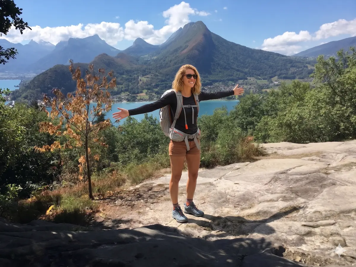
A protected reserve since 1977, the Roc de Chère is the wooded knuckle of land that pushes into the lake between Menthon and Talloires, splitting the Grand Lac from the Petit Lac. Well-signed trails through oak and pine lead to a succession of belvederes looking out over the Château de Duingt, the Talloires bay and, across the water, the Bauges. The walking is genuinely easy and the variety of flora — orchids, heather, dry limestone meadow — is the reason for the reserve’s status, so stick to the marked paths. It pairs naturally with a swim at the Talloires beach afterwards, and you can reach the start by bus or, in summer, by lake boat to Menthon-Saint-Bernard.
4. Col de la Forclaz Belvedere
Distance: ~4.5 km
Duration: 2h
Elevation gain: +340 m
Difficulty: Easy–Moderate
Max altitude: ~1,490 m (viewpoint)
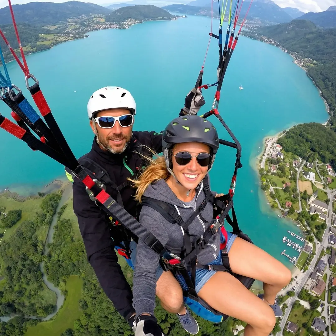
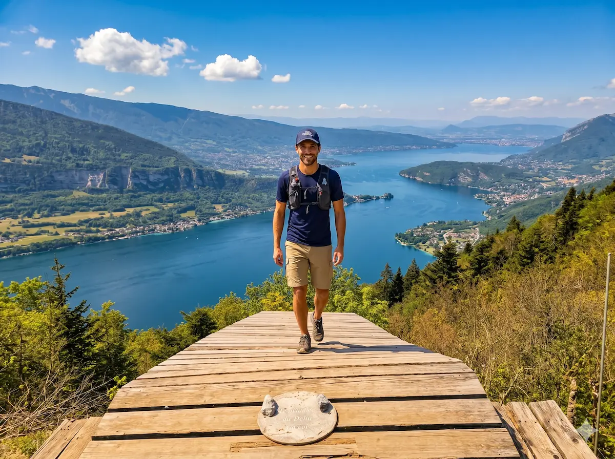
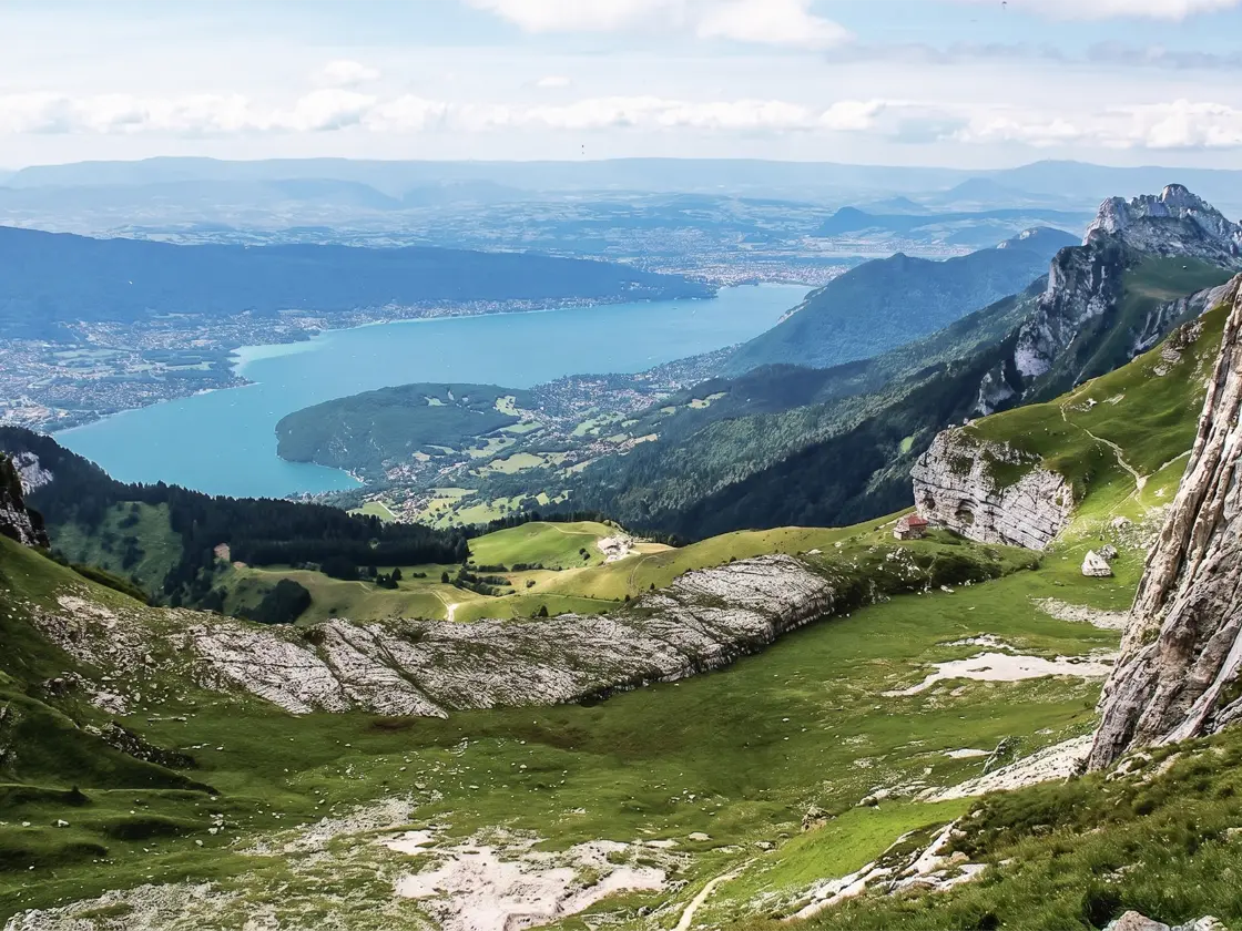
The most famous view of Lake Annecy — the one on the postcards, shot from directly above the southern tip of the lake — is the one you get from the Col de la Forclaz de Montmin. The col itself, at around 1,250 m, is reached by car or summer bus, and it’s the launch site for the paragliders you’ll see spiralling over the water all day (it’s also the jumping-off point for our paragliding in the French Alps coverage). From the col, a path climbs through alpage to a higher belvedere and on toward the Dent du Cruet at around 1,490 m, where the view opens to take in the full length of the lake, the Bauges and the alpine pastures rolling up toward La Tournette. The walk up adds about 340 m of climbing and takes a couple of hours; the snack chalets at the col make the finish easy.
5. Cascade d’Angon & the Angon–Rovagny Loop
Distance: 4.5 km loop
Duration: 2h30
Elevation gain: +378 m
Difficulty: Moderate
Max altitude: 769 m
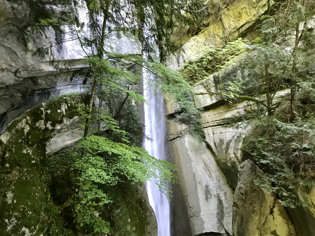
Short, but with a genuine showpiece: the Cascade d’Angon tumbles more than 60 m down a mossy cleft, and the path crosses a footbridge that takes you in behind the falling water. Starting from Angon, just south of Talloires, the loop climbs through cool sub-woodland and across hamlet meadows, with the standard Tournette-and-Bauges panorama opening up as you gain height. The descent is steep enough that walking poles earn their place, especially in the wet. The best part of this one is the access: it runs almost year-round, and the SIBRA bus line 20 drops you at the Angon — Route des Vignes stop, so you can do it from Annecy without touching a car.
6. Tour du Plateau du Semnoz
Distance: 8.15 km loop
Duration: 3h25
Elevation gain: +367 m
Difficulty: Moderate
Max altitude: 1,699 m (Crêt de Châtillon)
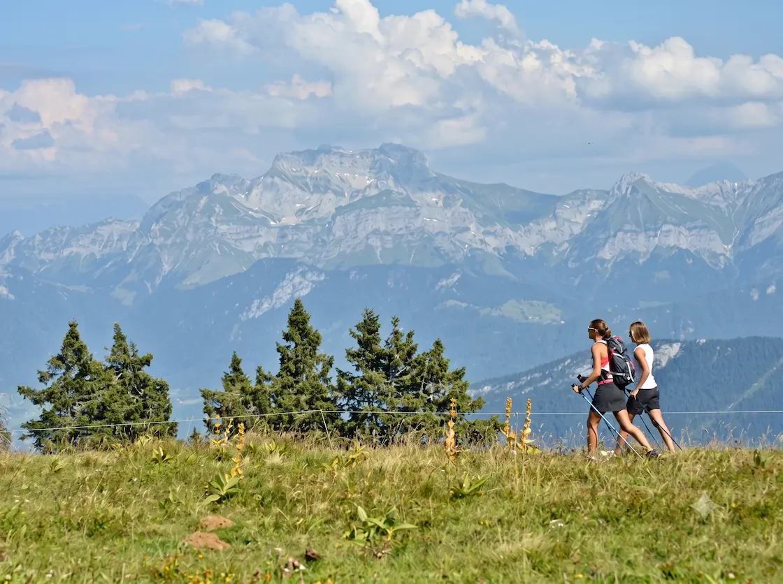
The Semnoz is the long limestone whaleback that walls the lake to the west, a cross-country ski area in winter and a sweep of high alpage in summer. The plateau-top loop links the Crêt de Châtillon — the high point at 1,699 m, with a 360° panorama that takes in Mont Blanc, the Aravis, the Bauges and the lake far below — with the quieter Crêt de l’Aigle to the south. The gradients are gentle because you start high: the road climbs most of the way and the walking is along open ridge and through pasture, often with grazing herds. It’s the best big-view day on the list for the least suffering, and a strong choice if the high east-shore summits are still under snow.
© Annecy Tourisme – T.Nalet
7. Arête du Taillefer
Distance: ~7 km loop
Duration: 3h
Elevation gain: +373 m
Difficulty: Moderate
Max altitude: ~900 m
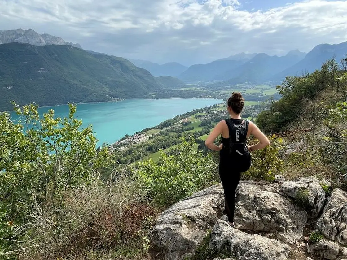
The Taillefer offers something you won’t find elsewhere on the lake: a narrow, airy crest path suspended between limestone walls and the turquoise water of the Petit Lac, with the feeling of walking along the rim of the basin. Starting from the church in Duingt, the loop follows the lakeside cycle path before turning up to gain the arête. There’s a steep pull to reach the ridge and a couple of rockier steps near the top, but nothing technical — just good footing and a head for a bit of exposure. It’s reachable by train or bus to Duingt, which makes it one of the more car-free-friendly of the steeper walks. Slick limestone after rain is the main hazard.
© Annecy Tourisme – CD74
8. Mont Veyrier & Mont Baron
Distance: ~10.5 km loop
Duration: 5h
Elevation gain: +850 m
Difficulty: Moderate–Hard
Max altitude: 1,299 m
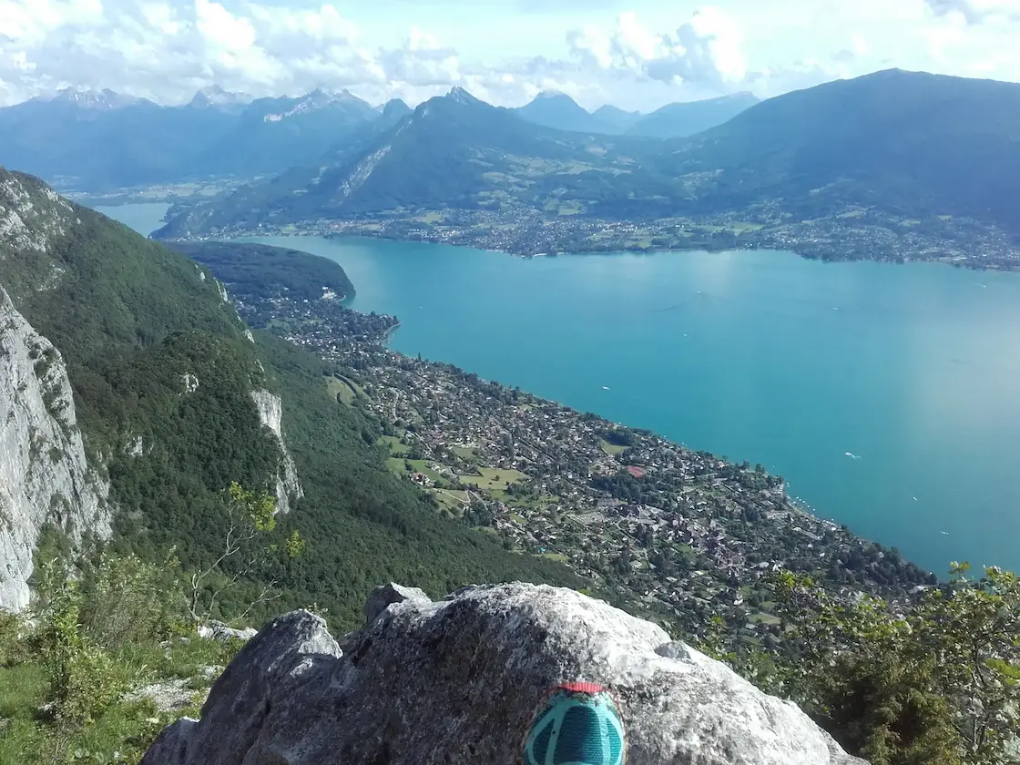
The two summits that stand directly above the eastern edge of Annecy itself — Mont Veyrier (1,291 m) and Mont Baron (1,299 m) — give you a ridge walk with the city and the entire lake laid out beneath your boots. The reward is exceptional; the climb is honest. Note a recent change: since July 2024 the Mont Baron forest road is closed to traffic, so the walk now starts from the lake at the petit port in Annecy-le-Vieux, which turns it into a full 850 m ascent rather than the short version some older guides describe. Take it as a single steep loop and budget five hours. The final ridge between the two tops is the highlight, with a sheer drop to the lake on one side.
© Annecy Tourisme – ML Frescurat
9. Tête du Parmelan
Distance: ~9 km
Duration: 4h
Elevation gain: +830 m
Difficulty: Moderate (cabled section near the summit)
Max altitude: 1,832 m
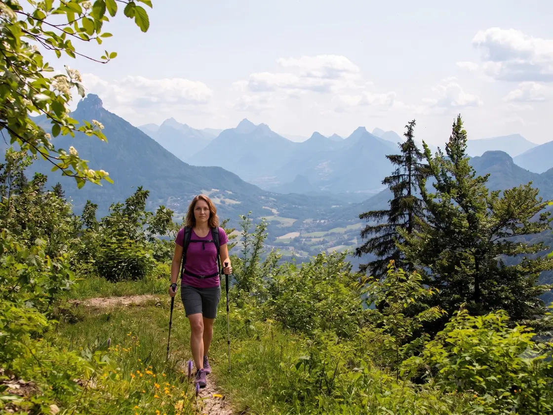
The Parmelan is the flat-topped limestone wall that closes off the view north of Annecy, and its summit hides one of the strangest landscapes in the area — a vast field of lapiaz, the fluted, fissured limestone pavement that covers the plateau behind the edge. From the Bois Brûlé car park above Villaz, the standard route climbs through forest to the refuge and the Tête du Parmelan at 1,832 m, with Mont Blanc filling the skyline behind. The direct line via the Grand Montoir includes a cabled, hands-on section that’s exhilarating for confident walkers but best avoided if you’re prone to vertigo — there’s a gentler alternative path to the same summit. A car is realistically needed to reach the trailhead.
10. Pointe de Talamarche
Distance: 11 km
Duration: 5h
Elevation gain: +1,100 m
Difficulty: Hard
Max altitude: 1,850 m
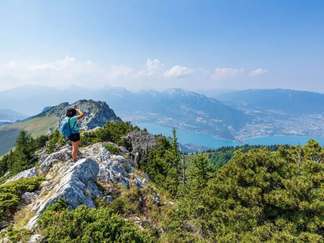
The high point of the Grandes Lanches — the limestone wall dividing the Thônes valley from the lake — the Pointe de Talamarche (1,850 m) is the connoisseur’s summit above Annecy: less trafficked than La Tournette, with an arguably better 360° panorama taking in the Aravis, the Bauges, the full lake and Mont Blanc. The standard route from Montremont, on the Thônes side, is a stiff 1,100 m climb over about 11 km. If you’d rather trade distance for a shorter, sharper day, a variant from the Chalet de l’Aulp (the same starting area as La Tournette) reaches the top with around 680 m of ascent. Either way it’s a proper mountain day on steep ground — save it for settled weather and clear visibility.
© OT Thônes
11. La Tournette via the Col de l’Aulp
Distance: 12.5 km
Duration: 6h30
Elevation gain: +1,188 m
Difficulty: Very hard
Max altitude: 2,351 m
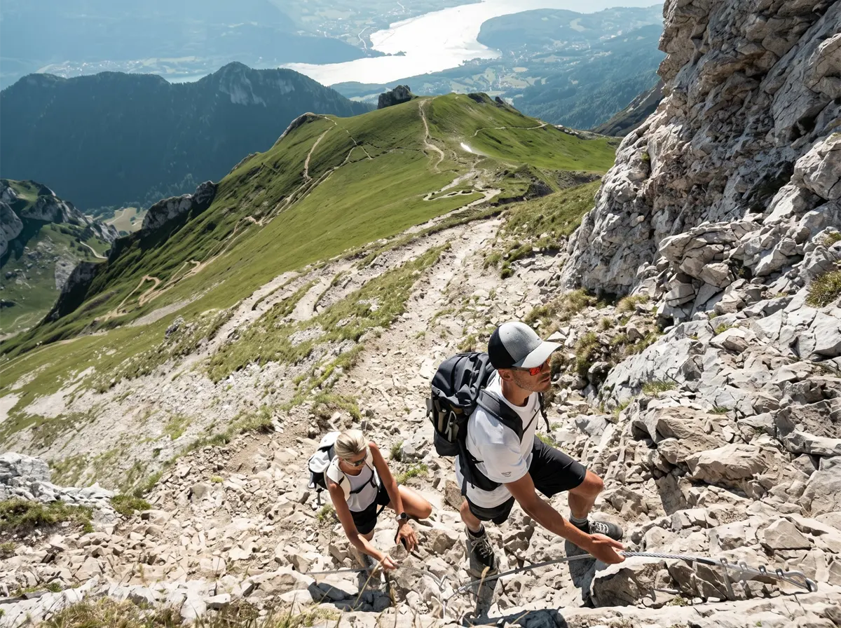
This is the big one — La Tournette is the Mont Blanc of Annecy, the 2,351 m fortress of rock that dominates the lake from every angle and the climb that every serious walker here wants to tick. From the Parking des Prés Ronds above Montmin, the path climbs to the Col de l’Aulp and then up through steepening alpage before the vertiginous finale: a series of chains, fixed cables and metal ladders lead up to the summit block known as le Fauteuil — the armchair. The reward is a panorama over the entire lake, the Aravis and the Mont Blanc massif, with bouquetin (ibex) often grazing the upper slopes. Take it seriously. There’s no water on the route, sections cross private land, and the trail is only reliably snow-free from 1 July to mid-October — never attempt it in fog or with snow lingering on the summit pitches. If you want the summit without the risk of going alone, this is the hike to do with a guide.
Book a Hiking Guide in Annecy
You don’t need a guide for the lakeside walks or the Semnoz — they’re well-signed and benign. But for La Tournette, the Pointe de Talamarche, or the cabled line up the Parmelan, a local accompagnateur en montagne or mountain guide is worth every euro: they’ll handle the route-finding on the chained sections, read the weather coming over the lake, and get you onto the high summits safely and at the right time of year.
Guided Day Hikes from Annecy
Local guiding companies and the Annecy bureau des guides run guided ascents of La Tournette through the summer season, along with easier discovery walks to the Ermitage, the Cascade d’Angon and the Semnoz for families and first-timers. Booking ahead is essential for La Tournette in July and August. Book your guided hike below.
When to Hike in Annecy
The hiking season around Lake Annecy runs broadly from late May to October, but what you can do depends heavily on altitude.
The lakeside and low walks — the Thiou promenade, the Ermitage, Roc de Chère, the Angon loop — are doable for much of the year, with only hard winter spells putting them off-limits. Spring (May–June) is glorious down low: green hillsides, full waterfalls and far fewer crowds, though the high summits are still holding snow. Summer (July–August) opens everything, including La Tournette and Talamarche, and lets you finish a hike with a swim — but it’s also when the lake’s beaches and the popular trailheads are busiest, so start early. Autumn (September–October) is the connoisseur’s season: stable weather, golden larch and beech, ibex more visible on the high slopes, and the summits still in condition until the first snows.
Two timing rules matter. First, the high east-shore summits only clear of snow from late June or July — La Tournette is officially open 1 July to 15 October and not before snowmelt. Second, afternoon thunderstorms build quickly over the lake in high summer; get the big ascents done in the morning and be off the exposed ridges by early afternoon.
TECHNICAL HIKING GEAR
Where to Stay in Annecy
Where you base yourself depends on whether you want the buzz of the town or quick access to the steep trailheads on the east shore.
In Annecy old town you’re walkable to the Thiou and lakeside walks, with the widest choice of hotels, apartments and restaurants, and good bus links to most trailheads — the easiest all-round base, especially without a car. Hotels in Annecy span everything from budget studios to lakefront four-stars; book well ahead for July and August.
On the east shore, around Menthon-Saint-Bernard and Veyrier-du-Lac, you trade nightlife for proximity: you’re minutes from the Roc de Chère and the Mont Veyrier ridge, with the lake on your doorstep. Hotels around Menthon-Saint-Bernard suit hikers who want quick morning access to the east-shore trailheads.
At Talloires and Angon, the prettiest corner of the lake, you’re right at the start of the Ermitage and Cascade d’Angon walks and within striking distance of the La Tournette and Talamarche trailheads above Montmin — the pick for hikers focused on the high east-shore summits. Hotels in Talloires range from lakeside classics to simple village rooms.
Planning Your Hike
Maps
The relevant IGN 1:25,000 sheets are 3431 OT (Lac d’Annecy) and 3430 ET (La Clusaz – Grand-Bornand – Aravis) for the Parmelan and Talamarche. Paper maps are worth carrying for the high routes; for everything else, the official ViAnnecy outdoor app (from the Lac d’Annecy tourist office) carries the marked itineraries and downloadable GPX tracks for the routes above, including La Tournette and the Angon loop. Waymarking on the lake walks is yellow blazes and signposts; the high routes are signed but sparse near the summits.
Getting There & Parking
Annecy is about 40 minutes from Geneva by motorway and well served by TGV to Annecy station from Paris and Lyon. For the trailheads: the Semnoz and Parmelan (Bois Brûlé) car parks are paid/free roadside lots reached by mountain road; the La Tournette trailhead is the Parking des Prés Ronds above Montmin; the Angon car park (opposite the beach) is paid June–September. Lakeside trailheads at Duingt, Talloires and Menthon have car parks that fill early on summer weekends — arrive before 9am or use public transport. For the top end of the lake and the old town, you can park for free at the Basilique de la Visitation and it’s a fifteen minute walk down into town.
Getting Around Without a Car
Annecy is one of the better lake destinations for car-free hiking. The SIBRA network runs buses around the lake — line 20 serves Talloires and Angon (with extra summer services), putting the Ermitage, Roc de Chère and Cascade d’Angon within reach of the old town. The Duingt trailheads (Arête du Taillefer) are reachable by regional bus and train along the west shore. In summer, the lake boats (Compagnie des Bateaux du Lac d’Annecy) double as scenic transport, dropping you at Menthon, Talloires and Duingt — a genuinely lovely way to reach a trailhead. The high northern summits (Parmelan, Talamarche from Montremont) are the hardest to reach without a car.
What to Pack
For the lakeside and low walks, trail shoes, water and sun protection are enough. For the high routes — La Tournette, Talamarche, Parmelan, Mont Veyrier — bring proper hiking boots with ankle support, a waterproof shell and warm layer (weather turns fast over the lake), 2+ litres of water (there’s none on La Tournette), walking poles for the steep descents, sun cream and a hat, a picnic, and binoculars if you want to spot ibex on the Tournette. A headtorch and a basic first-aid kit are sensible on the longer days. See our Technical Hiking Gear Guide for full recommendations.
Safety & Trail Conditions
The cabled and laddered sections on La Tournette and the Grand Montoir line on the Parmelan are the main objective hazards — fine for confident, sure-footed walkers but unforgiving in the wet or in poor visibility. Don’t start La Tournette in fog, and confirm the summit is free of snow before committing (generally not before late June). Limestone gets greasy after rain across all the steeper routes. Check the local mountain conditions and the forecast before any high day, and remember that afternoon storms are common in July and August — an early start is the simplest safety measure.
Frequently Asked Questions
Yes — it’s the hardest walk on the lake and rated very difficult. From the Col de l’Aulp it’s a 1,188 m climb over 12.5 km, taking around 6h30 return, and the final approach to the 2,351 m summit involves fixed chains, cables and metal ladders. It’s well within reach of a fit, sure-footed hiker with a head for heights, but it’s not a beginner’s route, there’s no water on the way, and it should only be attempted in clear weather between July and mid-October. Less experienced walkers often do it with a guide.
Late May to October. Low and lakeside walks run from spring through autumn; the high summits like La Tournette and the Pointe de Talamarche only clear of snow from late June or July. September and October offer the most stable weather, autumn colour and the fewest crowds, while July and August open every route but bring busy trailheads and frequent afternoon storms.
Yes — Annecy is one of the easier lake destinations for car-free hiking. The SIBRA bus network (line 20 serves Talloires and Angon) and the summer lake boats reach trailheads at Talloires, Menthon and Duingt, and several walks — the Thiou promenade, parts of the lakeside Voie Verte — start in the town itself. The high northern summits like the Parmelan are the main routes that really need a car.
The Ermitage de Saint-Germain loop from Talloires (5.3 km, under two hours, +277 m) gives the best view for the least effort, with a balcony straight down onto the Baie de Talloires. The Roc de Chère reserve and the Col de la Forclaz belvedere are the other standout easy options, the latter offering the classic postcard view over the southern end of the lake.
The Tour du Plateau du Semnoz is about 8 km with 367 m of ascent and takes roughly 3h25 at a steady pace. Because you start high — the road climbs most of the way to the Crêt de Châtillon at 1,699 m — the gradients are gentle for the size of the view, which on a clear day stretches from Mont Blanc to the Aravis and the Bauges.
Not for the lakeside walks, Roc de Chère, the Ermitage or the Semnoz — all are well-signed and straightforward. A guide is genuinely worth it for La Tournette and the Pointe de Talamarche, and for the cabled line up the Parmelan, where local knowledge of the route, the weather coming over the lake, and the right time of year makes the day both safer and more enjoyable.
Have you hiked any of these routes, or got a favourite trail above the lake we’ve missed? Leave a comment below — and if you’re planning your first ascent of La Tournette and want advice on timing or guiding, just ask. Happy hiking!